Engineering Surveyors, Mapping, G.I.S and Licensed Surveyors For Cadastral Surveys
Remconsult Limited
Engineering Surveyors, Mapping, G.I.S and Licensed Surveyors For Cadastral Surveys
About Us
We are an independent limited company legally licensed to provide professional and comprehensive services in all land surveying in Kenya and across east Africa.
Company History
Remconsult was registered on 26th February 1997 in Kenya as a small sole proprietorship. In 2014 Remconsult was incorporated as a Limited company under the Companies Act of Kenya to become Remconsult Limited. Today Remconsult Limited is among the leading service provider in the field of surveying in Kenya.
Mission & Vision
VISION:To be the best solution provider in Surveying and Property industry.
MISSION:To provide accurate, consistently reliable surveys and related services, saving both time and money.
CORE VALUES:Quality, Honesty, Integrity and Professionalism.
Organisational Structure
Remconsult Limited has a staff resource comprising of surveyors who have worked on design and construction projects, roads design, pipelines and transmission lines and cadastral surveys.
Our Services
Our company provides a variety of products namely:
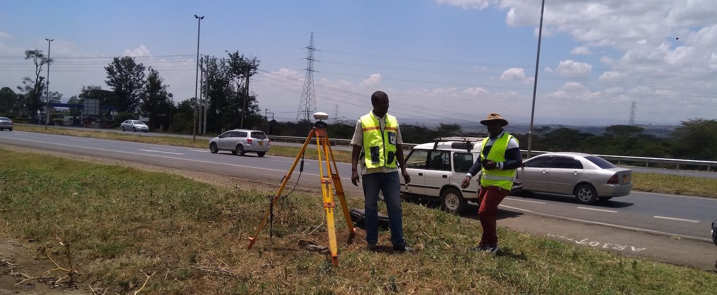
Digital Surveys
The purpose of a topographic survey is to collect survey data about the natural and man-made features of the land, as well as its elevations. Topographic maps are used to show elevations and grading features for architects, engineers, and building contractors.
Our teams are well-versed in topographic surveys. We utilize the latest surveying technology and Equipment. We produce accurate, consistently reliable topographic surveys.
Digital Mapping
Our goal is to provide quality mapping products at the right time using mapping tools and high-quality equipment. We use AUWIN3 and AUWIN4 mapping instruments to perform aerial triangulation, produce orthophotos and digital maps.
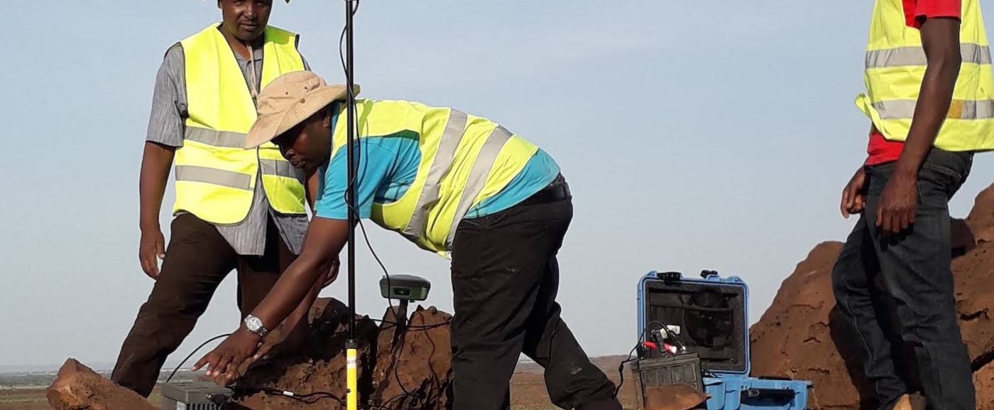
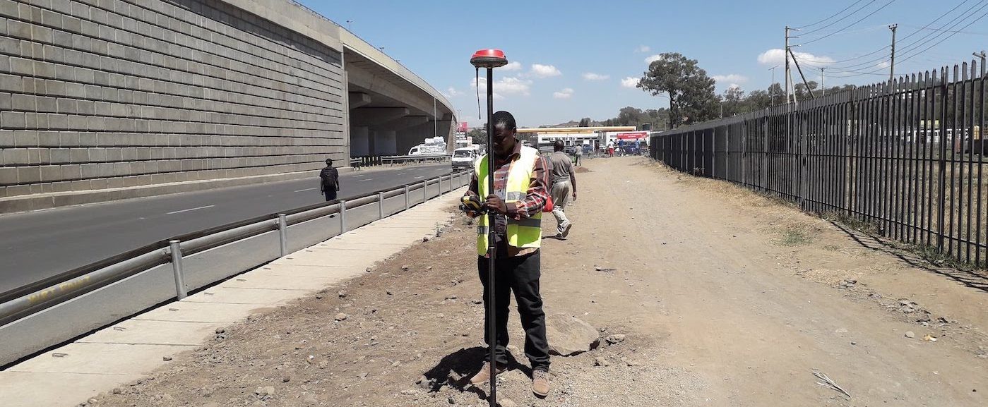
Geodetic GPS Surveys
Geodetic surveying involves measuring or staking out points on the ground with high accuracy. GPS and other satellite-based systems are used for this process. We employ the latest technology and equipment such as GNSS
GIS And Cartography
Development of geographic information systems, Compilation of spatial data using GNSS collected data, and the design and development of derivative GIS and cartographic products. Digitisation and preparation of the geo-referenced and digital plans.
Cadastral And Field Survey
We are licensed surveyors and we undertake Cadastral Survey
Underground Utility Surveys
We undertake underground surveys using Ground Penetrating Radar (GPR) LMX200
Photo Gallery
Contact Us